Norway’s forestry sector manages approximately 12 million hectares of productive forest, with forest owner cooperatives such as Glommen Mjøsen Skog SA coordinating sustainable harvesting, reforestation, and forest health management across thousands of individual properties. The scale and geographic distribution of these operations—spread across mountainous terrain, remote valleys, and areas with limited road access—create natural demand for aerial monitoring and survey capabilities.
Forest inventory and resource mapping
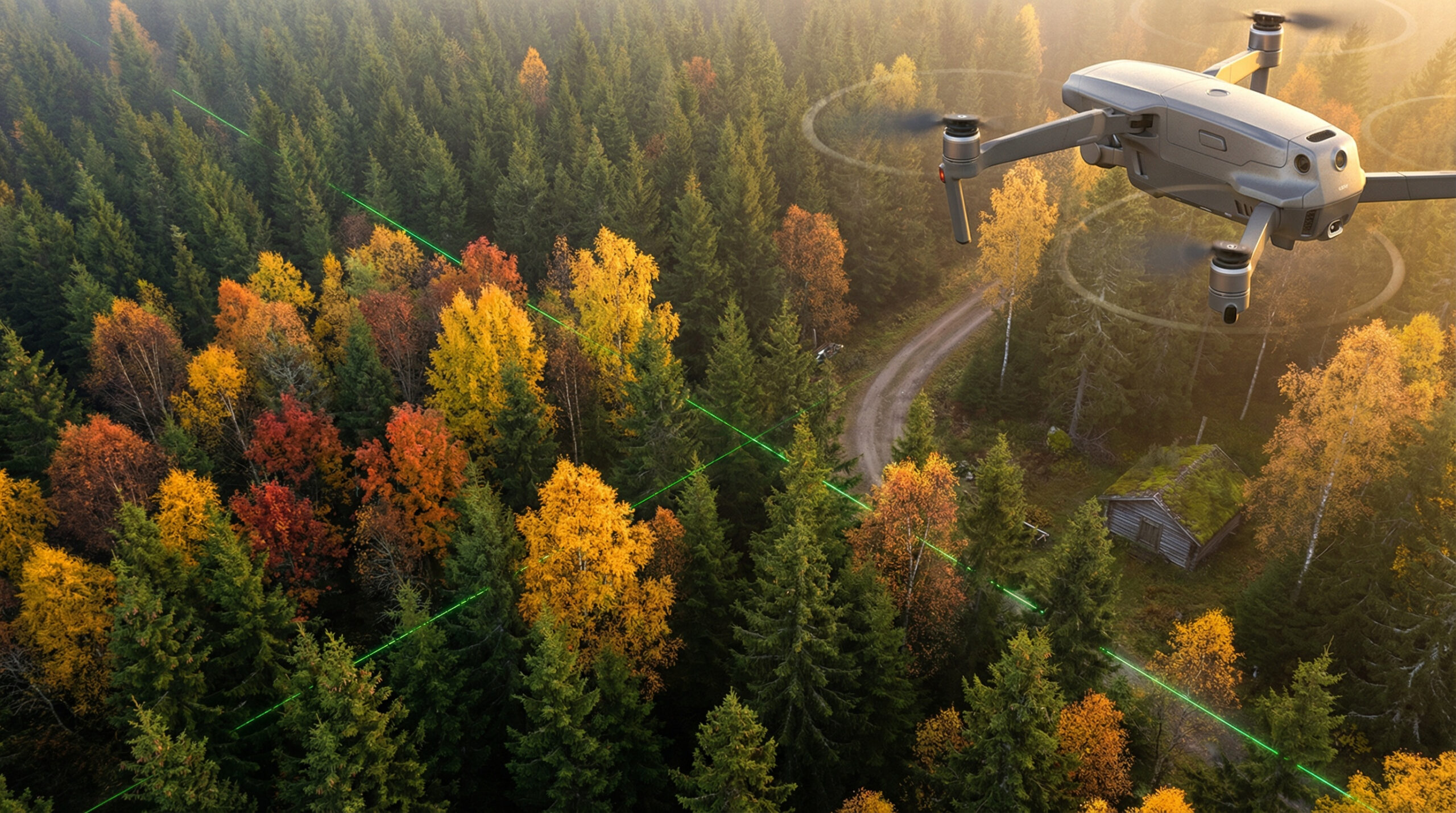
Traditional forest inventory relies on ground-based sampling plots and periodic aerial photography. Drone-based surveys complement these methods by providing high-resolution imagery, LiDAR-derived point clouds, and multispectral data at scales and frequencies that were previously impractical. Individual tree detection, canopy height modelling, volume estimation, and species classification are all achievable with current drone and sensor technology.
For forest owner cooperatives managing thousands of properties, the ability to generate accurate, up-to-date inventory data across large areas supports better harvesting planning, more accurate timber valuation, and improved resource allocation. The data feeds into existing planning systems, reinforcing the principle that drone outputs must integrate with operational workflows to deliver value.
Forest health and damage assessment
Storm damage, pest infestations, drought stress, and disease outbreaks require rapid assessment across large areas. Norway’s forests are periodically affected by severe weather events that cause widespread windthrow, and by pest outbreaks such as bark beetle infestations that can spread rapidly through stressed stands.
Drone-based assessment can cover large damaged areas quickly, providing imagery and analysis that supports salvage planning, insurance claims, and ecological impact evaluation. When combined with edge AI for automated damage classification, the time from event to actionable information can be reduced substantially.
Precision silviculture and treatment monitoring
Emerging applications in precision forestry include drone-based monitoring of regeneration success, assessment of thinning outcomes, and targeted application of treatments. Research projects in Norway have explored drone-based spraying for weed control in planted areas—an application that requires precise positioning, controlled application rates, and compliance with environmental regulations.
These precision applications represent the frontier of drone use in forestry. They demand the same governance and accountability framework as other high-consequence drone operations: defined procedures, regulatory alignment, evidence capture, and operational traceability.