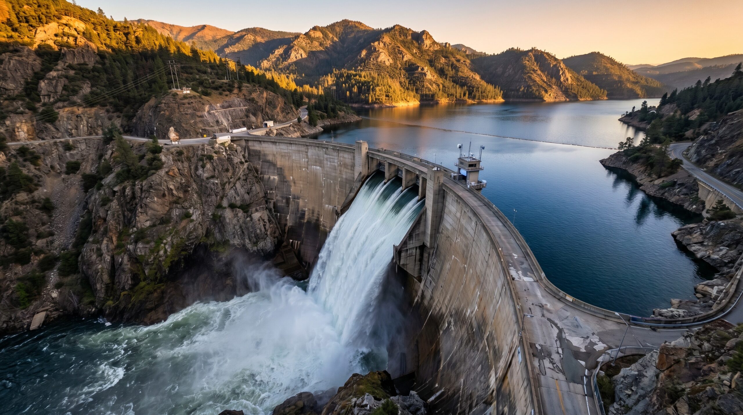
Dams, embankments, spillways, channels, and other managed water assets require regular inspection to identify structural wear, erosion, vegetation growth, sediment-related developments, and signs of local instability. In many cases, these inspection needs extend across terrain that is difficult to access safely and efficiently using manual methods alone.
Inspection requirements in water infrastructure
Water-related infrastructure is exposed to continuous environmental stress. Water movement, seasonal variation, freeze-thaw cycles, vegetation spread, and surface degradation can all alter conditions over time. Inspection programmes therefore need repeatable methods that support comparison across multiple observation periods rather than isolated site visits.
What drone-derived evidence can reveal
Drone operations can produce visual and geospatial evidence that helps operators assess surface condition, slope stability, drainage behaviour, structural interfaces, and access constraints. High-resolution imagery, terrain-aware capture, and repeat survey routes make it easier to identify developing issues before they require more extensive intervention.
Repeatable monitoring and maintenance planning
The practical value of drone-based inspection lies not only in site coverage, but in the consistency of the evidence produced. When inspections are repeated using comparable routes, sensor settings, and reporting logic, they become more useful for maintenance planning, prioritisation, and escalation. This supports a more structured approach to dam safety and waterway management.