Civil engineering and survey companies rely on accurate spatial data for site assessment, design validation, construction monitoring, and as-built documentation. Drone-based photogrammetry, LiDAR, and multispectral survey provide data at scales and resolutions that complement traditional survey methods, often at lower cost and faster turnaround for large-area coverage.
Topographic survey and site assessment
Drone-based topographic survey generates digital surface models, contour maps, and volumetric calculations from aerial imagery or LiDAR data. For civil engineering projects—road alignments, earthworks, drainage design, and site development—this data provides the spatial foundation for design and planning.
The advantages over traditional ground survey include faster data collection for large areas, consistent coverage without interpolation gaps, and the ability to resurvey frequently to track changes. The trade-off is typically lower precision for individual point measurements compared to total station or GNSS survey, though this gap is narrowing with advances in sensor technology and ground control methodology.
Volumetric analysis and earthworks monitoring
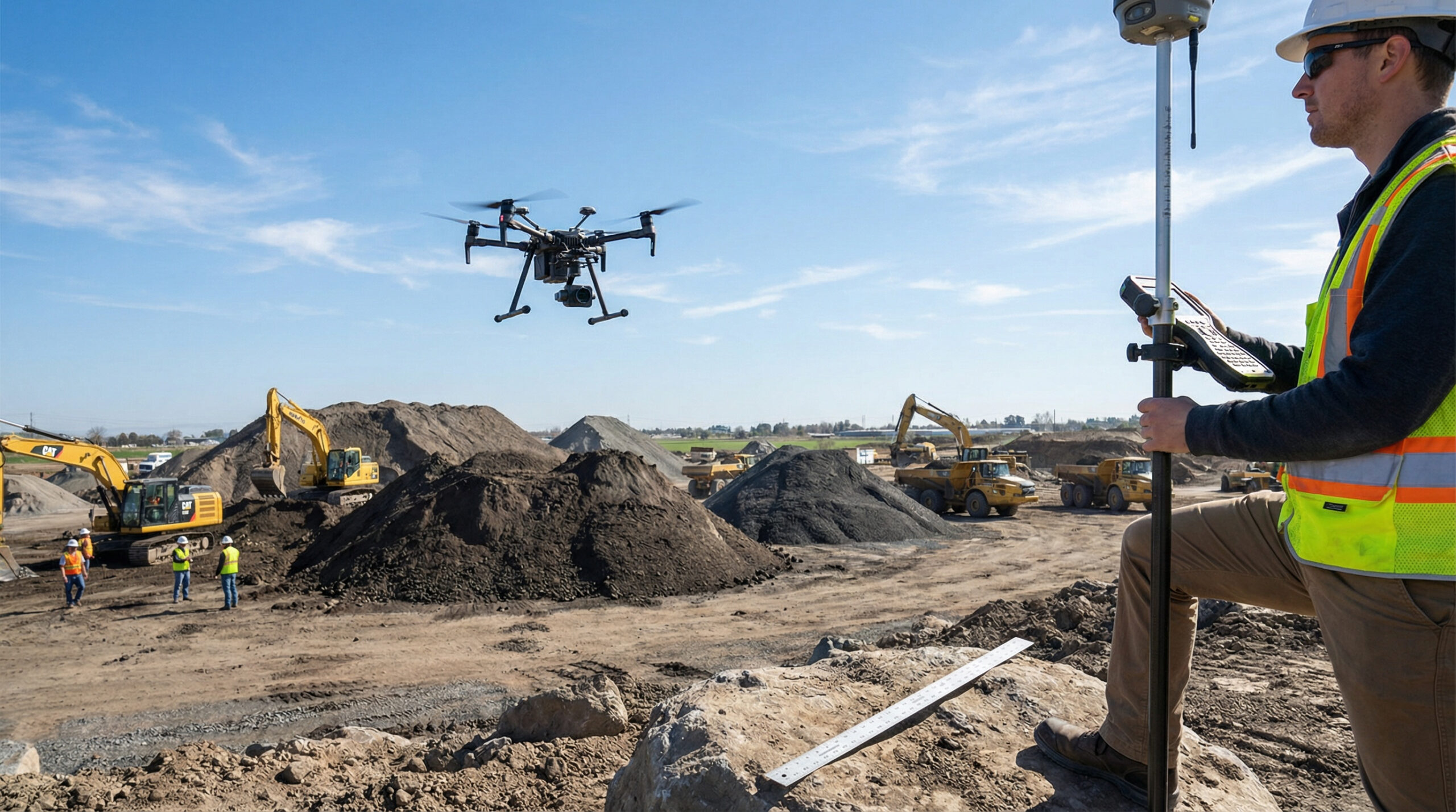
Construction earthworks—cut-and-fill operations, stockpile management, and site grading—require regular volumetric measurement for progress tracking, payment certification, and material balance management. Drone-based survey can generate volumetric calculations with high frequency and consistent accuracy, reducing disputes and improving project control.
Integration with engineering design tools
Civil engineering design tools—CAD, GIS, and BIM platforms—consume spatial data in specific formats and coordinate systems. Drone-derived data must be delivered in formats compatible with these tools, with appropriate metadata, coordinate transformations, and quality documentation. This integration requirement is a practical example of the broader principle that drone services deliver value through connection to operational systems.