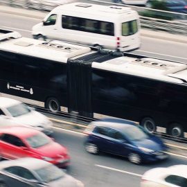
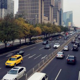
• Urban Spatial Area Management
    Available areas are a spare commodity in cities.
    Spontaneous freeing up and reassigning areas
    is the key to a more dynamic and well functional city.
  • Improving infrastructure
    Distributed traffic more intelligent and evenly
    across the infrastructure contributres to reduce
    the load and minimize the climate footprint.
  • Smarter transport
    Ordering carriers for first/last mile transport
    is one of several tools that can be used for
    reducing climate footprint and travel costs.
  • Intelligent vehicles
    Smarter traffic demands smarter vehicles.
    Autonomous cars and intelligent roads
    shapes the things to come
  • Sustainable cities
    The move towards greener, smarter and more
    accommodating cities for people to live in
    demands better utilisation of available areas.
  • Smarter Area Managment
    Areas exists in three dimensions and are
    rarely fully exploited. City maps and floor
    plans are all examples on improvements.
  • Smart house
    A residence is not only a construction, but also
    part of a constellation that distributes information
    and exchange data with the surroundings.
  • Tools to improve living
    Improving the city-wide intelligence, open for
    new services, better care, more economic
    management and increased quality of life.
  • Adapting infrastructure
    The flow of traffic will have other properties,
    patterns and purposes in a smart city where
    areas are being reassigned on demand.

On Mobility as a service (MaaS)

|

Passenger transport demand in the EU-28 increased by nearly 1.1 % between 2012 and 2013, after an overall downward trend since its peak in 2009 Prevalence and Association with Agehappy to discuss this... READ MORE

On eco-conscious behavior

|

Support for eco-conscious behaviours is planned being achieved through incentives such as reward systems (rebates or gift cards) for saving CO2 and NOx emissions, based upon fulfilling local climate goals and profiles. In... READ MORE

On travel information

|

Traveling information is continuously evolving . Data that originated from isolated, stove-piped networks of public transit, toll, parking, taxi, and other regional services are today moving towards large-scale integrated mobility solutions personal, cultural,... READ MORE

Solutions

TrafPoint offers insight on capacity, popularity and load balancing and offers real time situation maps, travel statistics, prognosis and route optimisation suggestions.  

Read More

Intelligent Assistive Parking is a service that aim to view and manage handicap parking space while reporting on occupancy by vehicles lacking the necessary permissions.

Read More

Matching.to is a versatile cloud service that allows for registering person and company profiles and generate a compability-list based on a selected number of criteria.

Read More

Reliac City is a decision support and management system for registering and reassignment of areas for different purposes based real time events and demands.

Read More

VICINITY is a Horizon2020-funded project that use a cloudservice to offer sharing, control of visibility and ownership of data from IoT devices that is not vendor or standard-specific.

Read More

Crossmove is based on a Horizon2020-funded research project that deliver recommendations and statistics for intermodal transport based on emission profiles and travel characteristics.

Read More

Partners

Network